
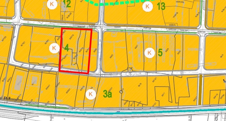

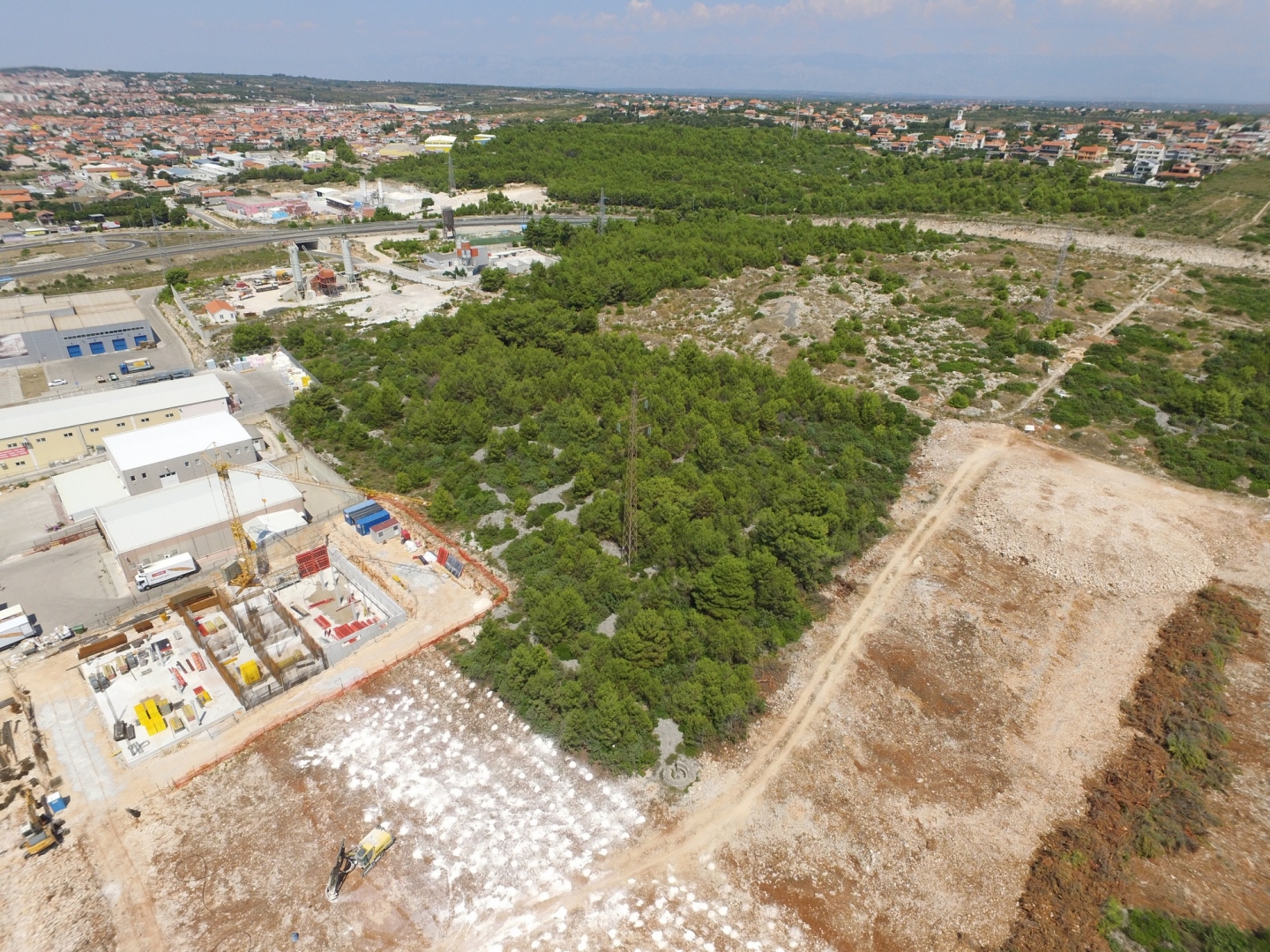


There is a building plot for sale located within the planned cassette 4 according to the urban plan. The total area of this land is 4,933 m².
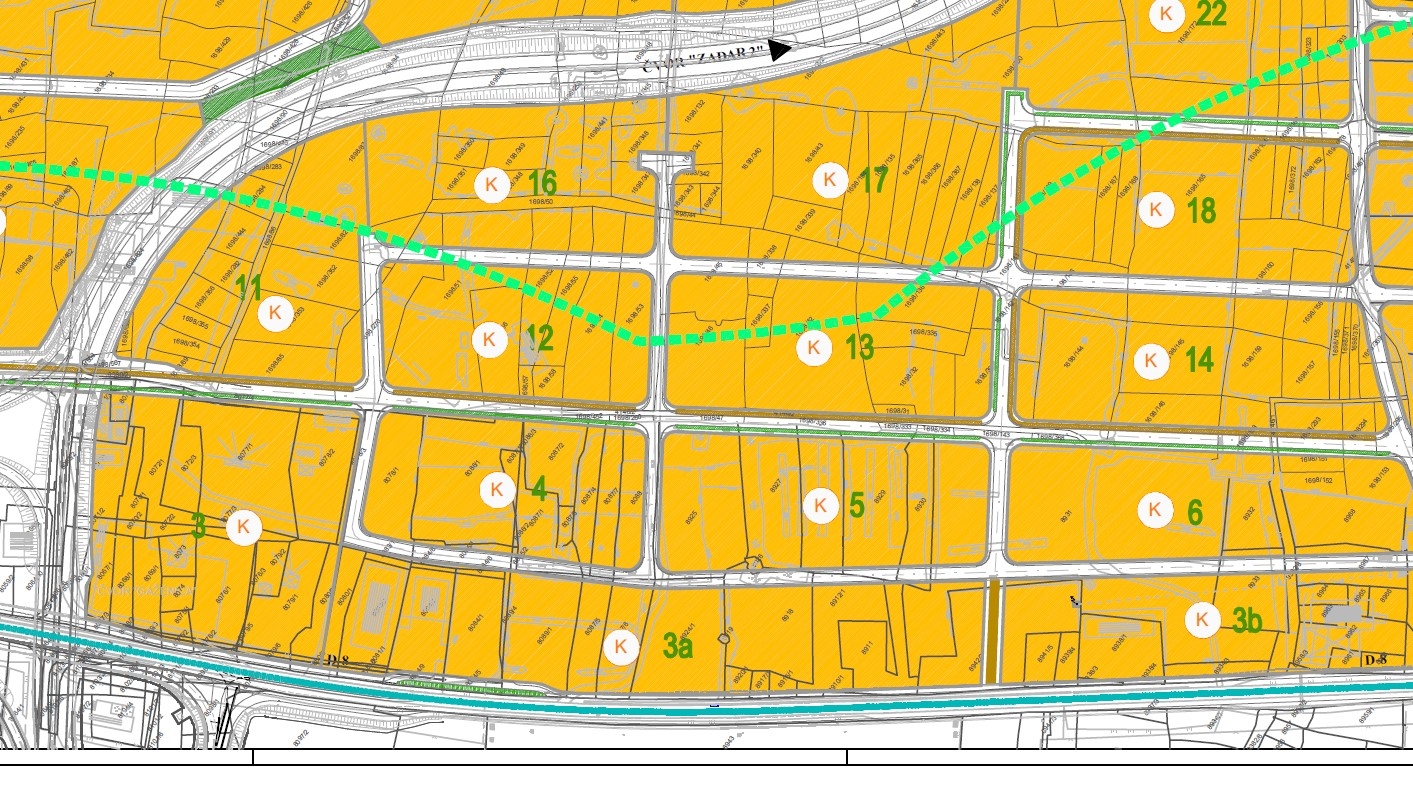
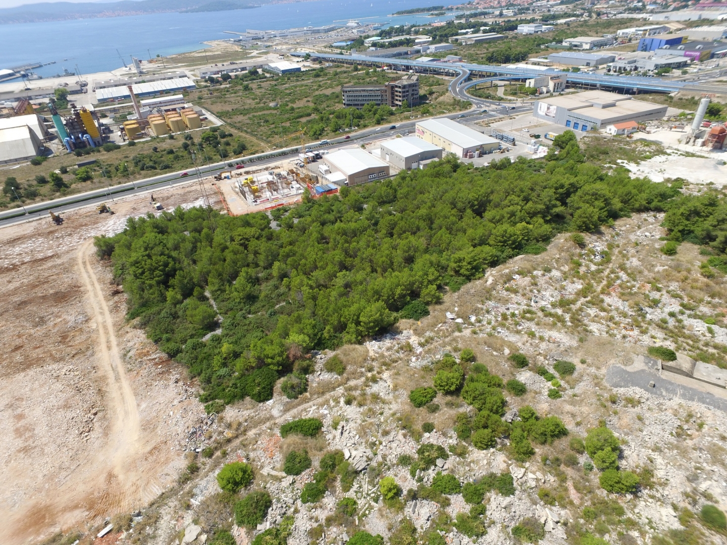
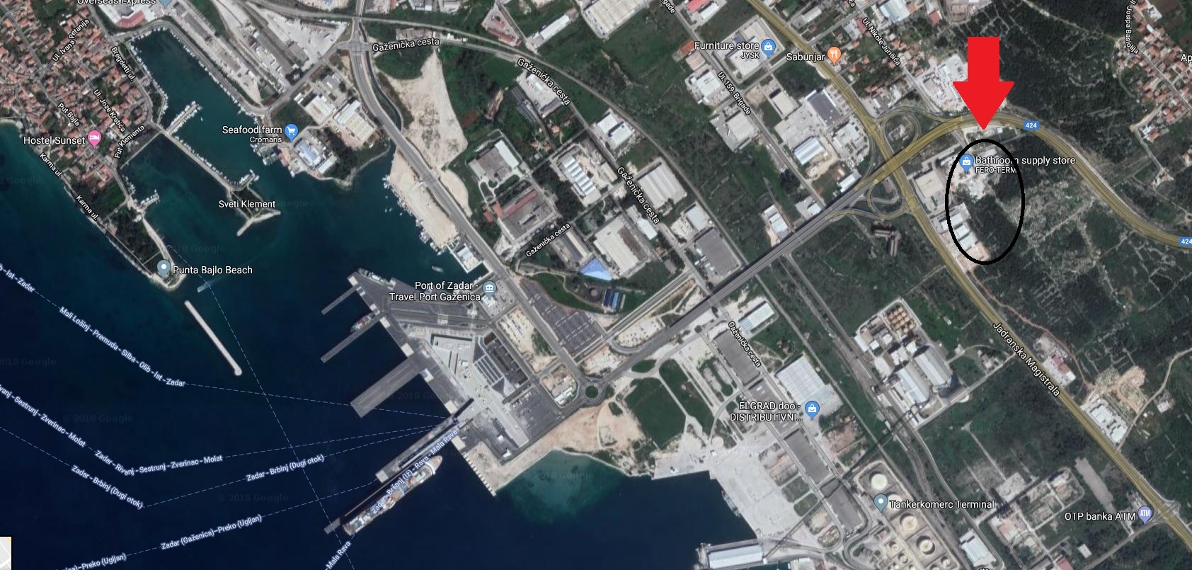
It is situated in the southeast part of the city, at the intersection of two main roads: the Adriatic Highway and the access road Zadar 2 - Gaženica (424), with direct access to the highway. The Gaženica Port is less than 1 km away, while Zadar Airport is approximately 5 km away.
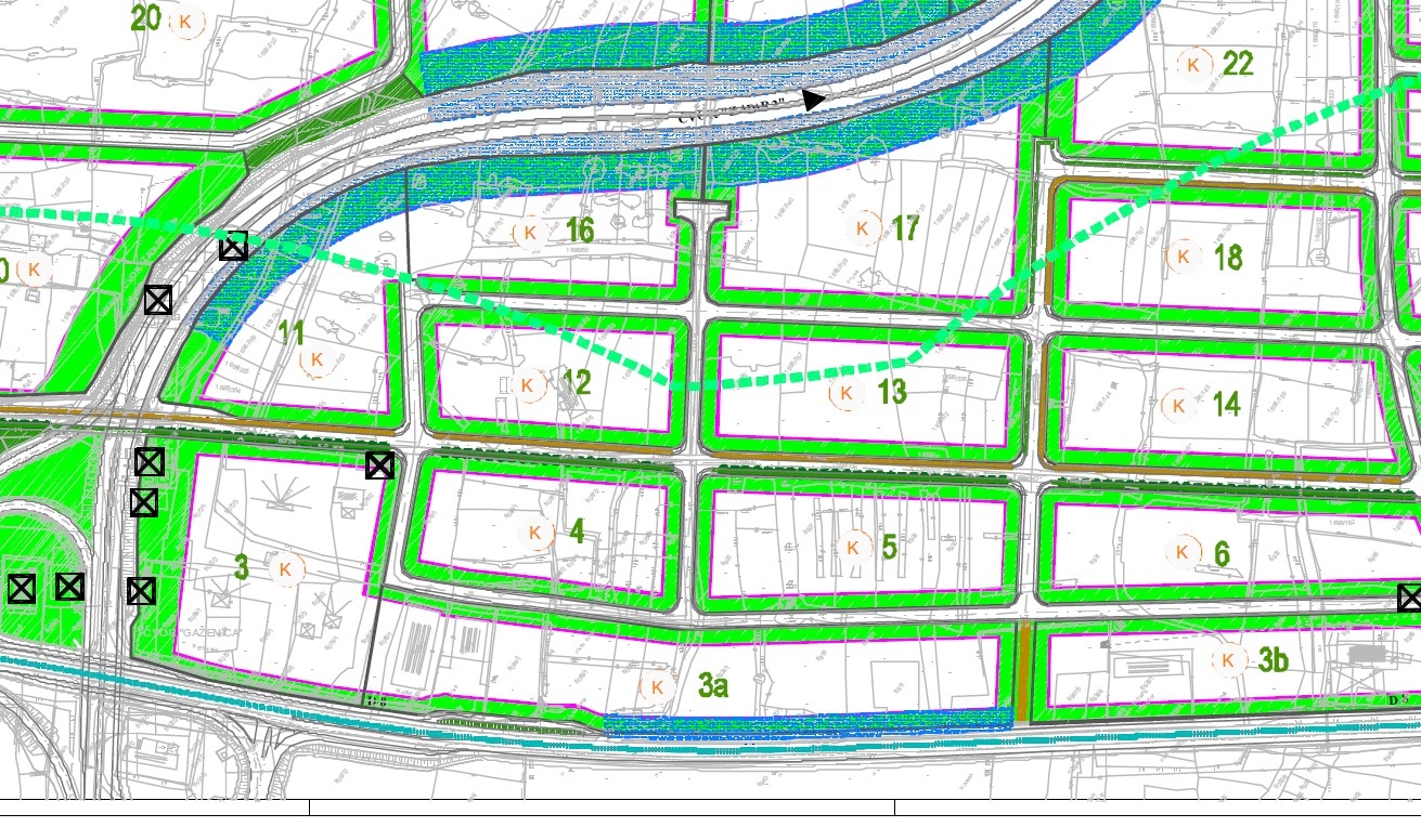
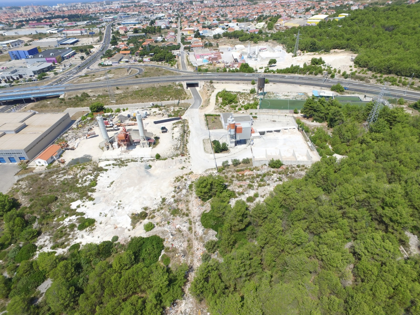
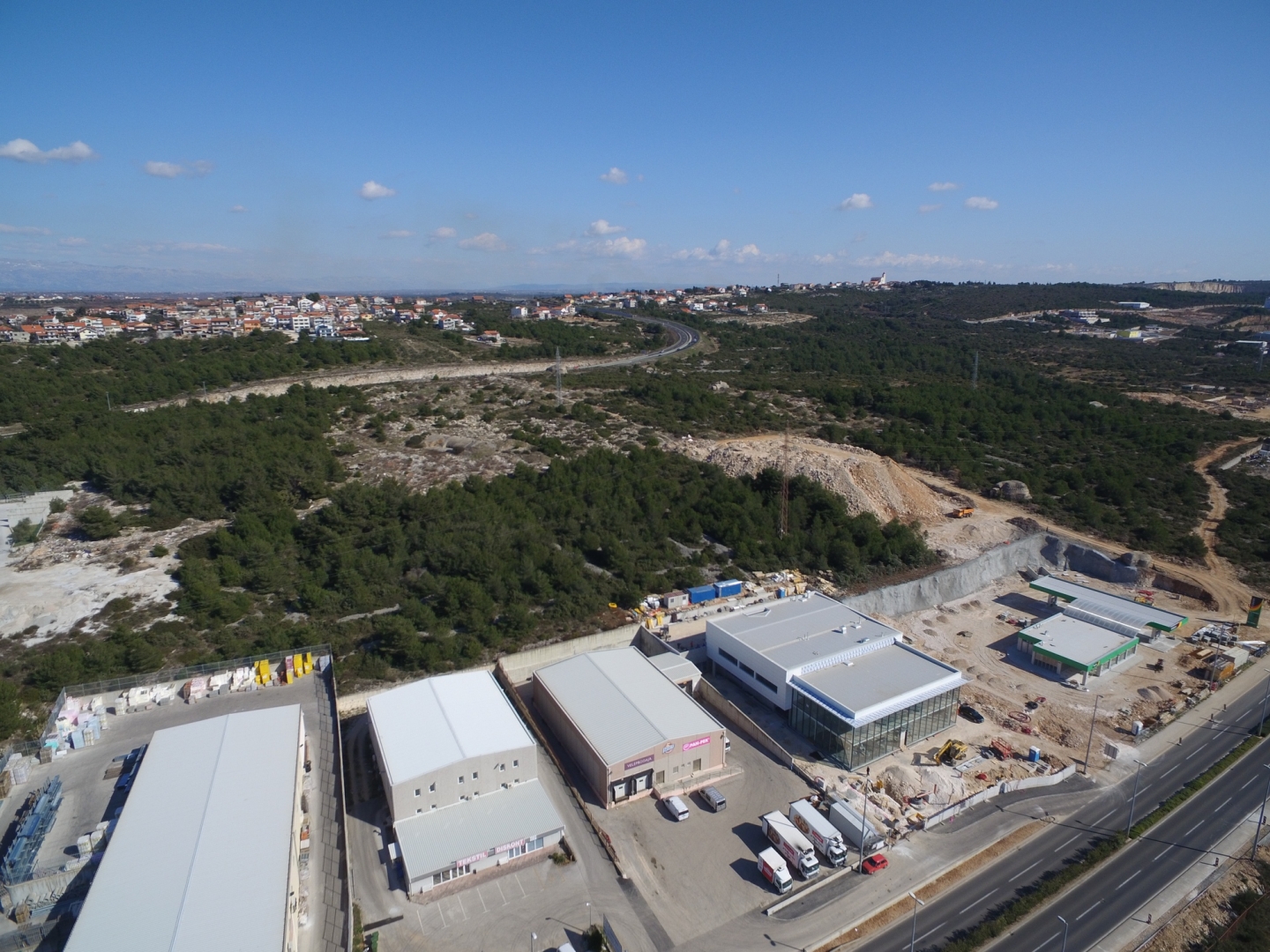
The land belongs to the business area of Barbaričine. According to the urban plan, almost all plots within this area are in the K-zone (commercial, industrial, and storage purposes) with a maximum building coefficient of 0.40 and a maximum building height of 12 m.
It consists of six plots: cadastral numbers 8087/3, 8087/7, 8087/2, 8087/4, 8087/6, and 8087/5. The plots have an irregular shape, and a future direct access to the public road, Nikole Jurišića Street, is planned. It is important to note that part of the land is within the corridor of a future road according to the urban plan. The planned area of the cassette is 13,976 m².
There is a possibility of joint purchase of the remaining three plots located within the neighboring cassette number 5.
This land offers excellent opportunities for the development of commercial buildings due to its favorable location, proximity to roads, and infrastructure.
It is situated in the southeast part of the city, at the intersection of two main roads: the Adriatic Highway and the access road Zadar 2 - Gaženica (424), with direct access to the highway. The Gaženica Port is less than 1 km away, while Zadar Airport is approximately 5 km away.
The land belongs to the business area of Barbaričine. According to the urban plan, almost all plots within this area are in the K-zone (commercial, industrial, and storage purposes) with a maximum building coefficient of 0.40 and a maximum building height of 12 m.
It consists of six plots: cadastral numbers 8087/3, 8087/7, 8087/2, 8087/4, 8087/6, and 8087/5. The plots have an irregular shape, and a future direct access to the public road, Nikole Jurišića Street, is planned. It is important to note that part of the land is within the corridor of a future road according to the urban plan. The planned area of the cassette is 13,976 m².
There is a possibility of joint purchase of the remaining three plots located within the neighboring cassette number 5.
This land offers excellent opportunities for the development of commercial buildings due to its favorable location, proximity to roads, and infrastructure.
- Transaction:
- For sale
- Realestate type:
- Land
- Price:
- 246.650€
- Square size:
- 4.933 m2
- Plot square size:
- 14.165 m2
Permits
- Energy class: Energy certification is not obligatory
- Ownership certificate
Close to
- Proximity to the sea
Other
- Land type: Construction
- Purpose: Commercially
Building plot
- Land book adress: 8087/2, 8087/3, 8087/4, 8087/5, 8087/6, 8087/7
- cadastre municipallity: Zadar
- Transaction:
- For sale
- Realestate type:
- Land
- Price:
- 246.650€
- Square size:
- 4.933 m2
- Plot square size:
- 14.165 m2